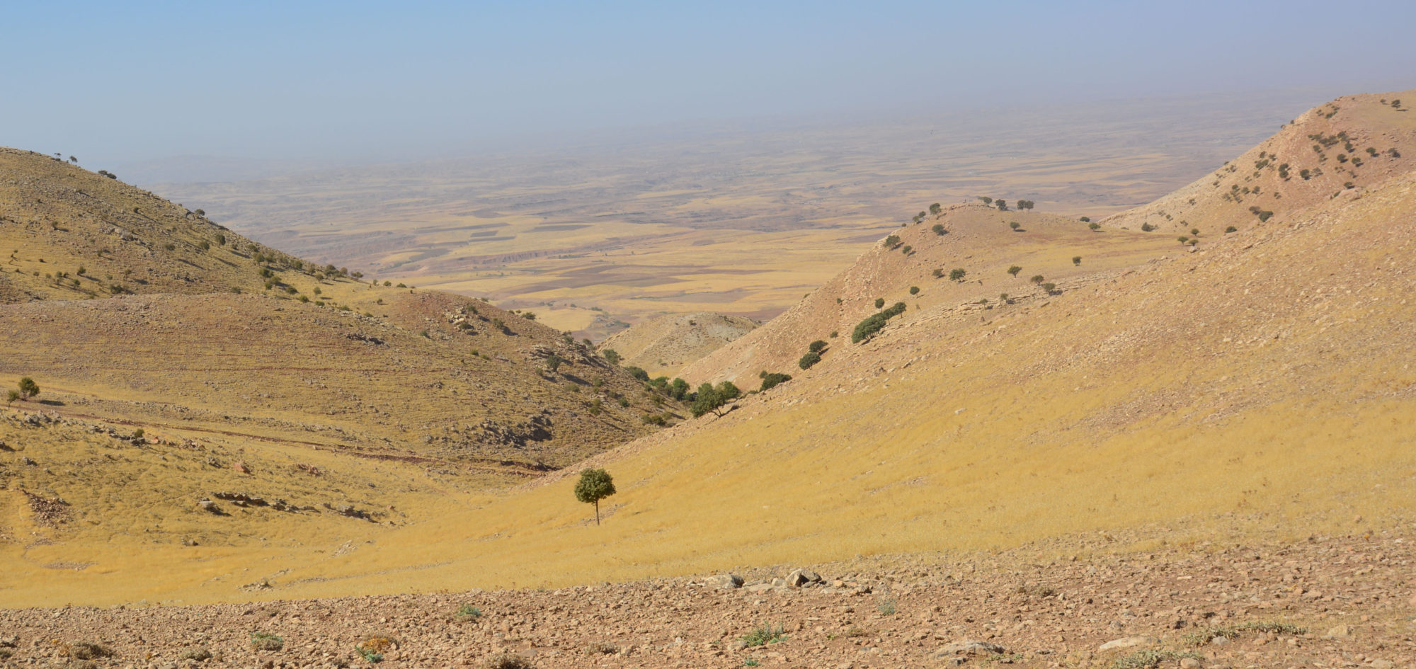
The modern region of Koi Sanjaq/Koya (Erbil, Iraq) is located southeast of Erbil. It forms a rough triangle measuring about 1.200 km2 bounded by the valley of the Lower Zab in the south, the valley of the Shalga river in the west, and divided from the Raniya plain by the chain of the Hab es-Sultan Dagh in the east. The area of research is characterized by different morphological features and can be roughly divided into three main environmental systems.
 Map of Macro and Micro Regions of the Research Area (©ASK Project)
Macro-Zone 1: The Valley of the Lower Zab
The narrow valley of the Lower Zab extends from the mouth of the river Shalga to the bottleneck created by the chains of the Hab es-Sultan Dagh and the Pir-a Magrun, where the river forms several meanders. The valley widens at only a few points to allow intensive agriculture in small plains. In all three zones ample rainfall and groundwater support rain-fed agriculture and grazing lands.

Macro-Zone 2: The Hilly Plain
The hilly plain which hosts the city of Koi Sanjaq (ca. 650 m u.s.l) extends from the feet of the mountains southwards to the valley of the Lower Zab. In this area, two perennial rivers, the Shalga and the Koi river, and their several rain-fed tributaries, carve this hilly region into smaller plains where agricultural production and grazing activities are carried out.

Macro-Zone 3: The Mountainous Area
The mountainous area in the north is bounded by the parallel chains of the Bana Bawi and the Safin Dagh and consists of several narrow valleys, connected through a limited number of passes to the adjacent Raniya plain and to the valley of Shaqlawa beyond.
Fieldwork in this region will continue from 2023 under a new project directed by Karel Novacek.
