2015–2017
The first two short field-seasons, which lasted one week of fieldwork in 2015 and 3 weeks in 2016, were mainly aimed at checking selected ground sites and anomalies thought to be representative for the area and located in different sampled areas. The fieldwork recorded a number of archaeological sites of different sizes, including archaeological mounds and hill-sites. The work also recorded several other topographical features, including architectural remains of historical or cultural interest such as caravanserais, shrines, or fortifications as well as natural features or functional irrigation structures such as springs, wells, or underground irrigation systems (so-called karez or qanāt).

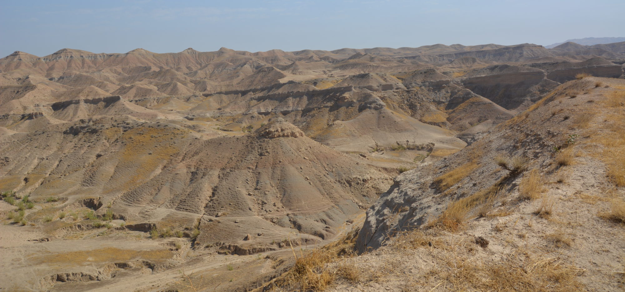
ASK Site #7 Qala Shila (© ASK Project)
The fieldwork in 2015 and 2016 focused first on the largest multi-period sites such as Qalat-i Sārtik (ASK site # 6, Archaeological Atlas of Iraq no. 109), a prominent site of zone 3a, Qalā Šīla (ASK site # 7, Archaeological Atlas of Iraq no. 36), which occupies a central place in zone 2c, and Ḫarāba, known today as Aštī, (ASK site # 14, Archaeological Atlas of Iraq no. 89), located in zone 2d.

In 2017, three weeks of systematic fieldwork were conducted in zone 2d in order to develop efficient working models for site density patterns in the region.